Hike up the Mt. Sniktau Trail
One my way home from an overnight in Frisco, I stopped at the top of Loveland Pass and did a short hike to the east of the pass. Technically, I think it is the Mt. Sniktau Trail, or the trail to Grizzly Peak though I did not go to either of these.
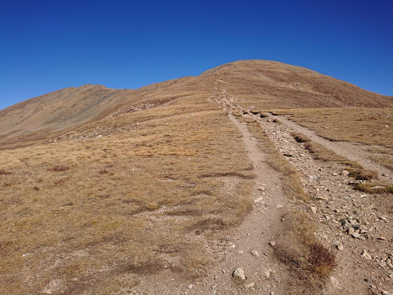
I went up the steep incline to the saddle visible from the pass parking lot. From here one could go north to Mt. Sniktau or south to Grizzly Peak. Though the distance to the saddle is fairly short (about 1.5km per my watch), the elevation gain is substantial. I made it in about 1 hour. It probably would have been faster but I had done several hours of biking earlier in the day so my legs were a bit tired.
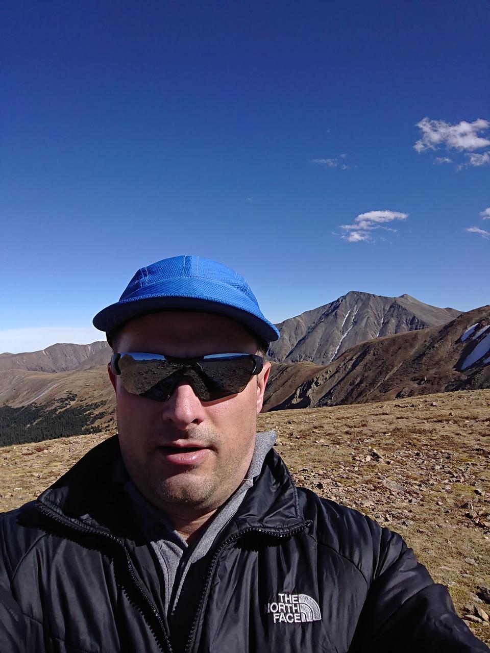
Obligatory selfie at the saddle. Grays and Torreys peaks visible in the background. They are on the list of mountains to climb, but not today!
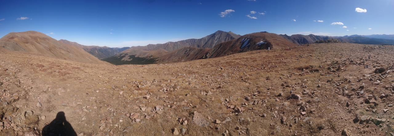
Unfortunately, the amount of wind at the top made it impractical to stay for very long. So I grabbed a quick panorama.
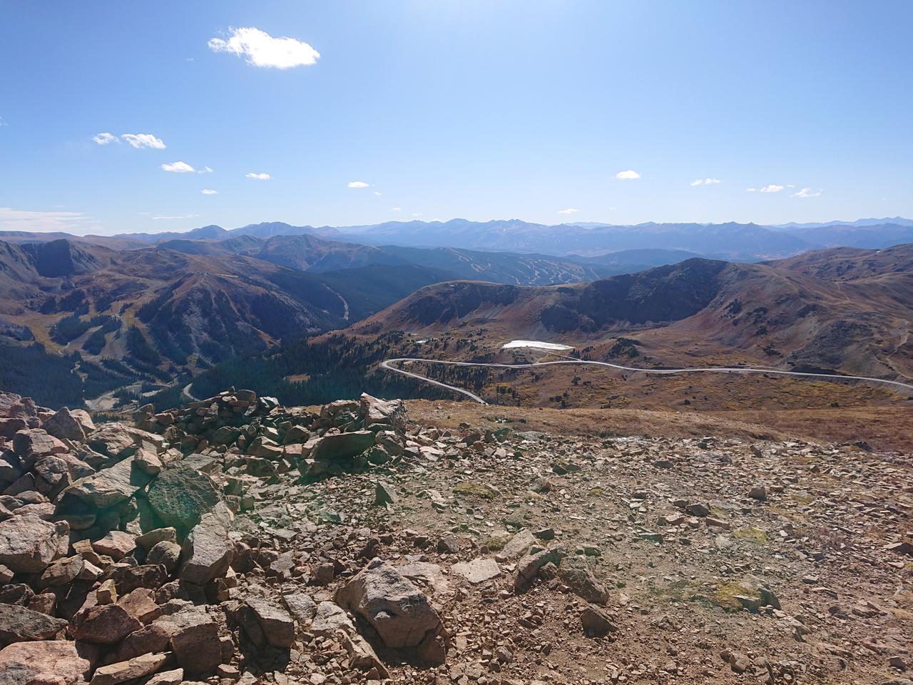
Also a photo of US-6 heading back toward the ski area Arapaho Basin.
Going back down was much easier and faster. The wind did not let up much as I went down so when I got back to the car I was quite cold.
Comments
Comments powered by Disqus