Mineral Basin Drone Footage
My father and I went exploring today to see how high up roads were open. The road over Cottonwood Pass was still closed (as are the roads over Independence Pass and to the top of Mt. Evans), so we went on the road that goes by Cottonwood Lake up to Mineral Basin.
We got about 1.5 miles from the end of the road before some deep snow drifts covered the road. It looked like some ATVs had gone over the snowbanks, but having been stuck in a spring snowbank before, we decided not to push our luck. I took some drone footage at that point.
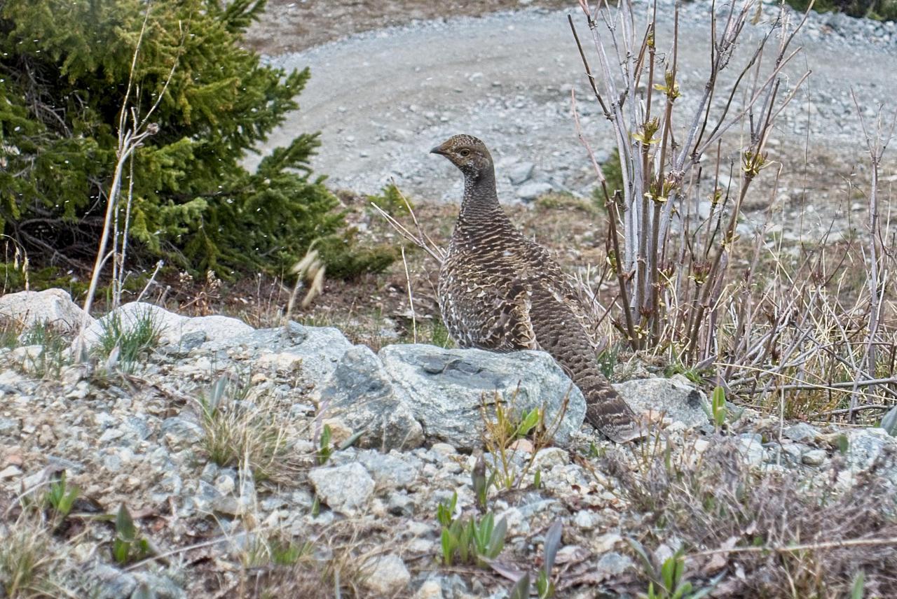
We then drove down the road a little bit, parked, and hiked up the 4WD road that goes near to Ptarmigan Lake. Along the way, we actually did see a ptarmigan!
Comments
Comments powered by Disqus